Minamisanriku Earthquake Disaster Memorial Park / Minamisanriku Town Former Disaster Prevention Countermeasures Office/Nakahashi Bridge
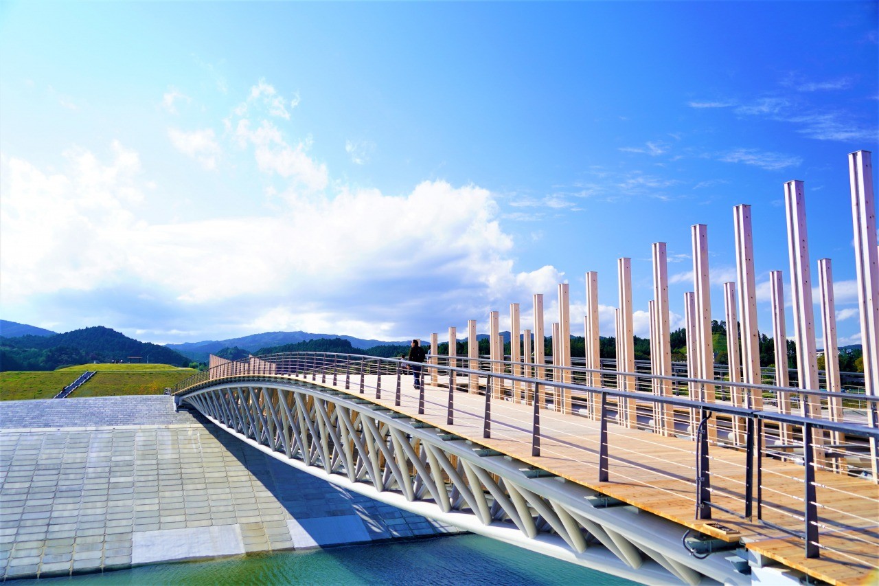
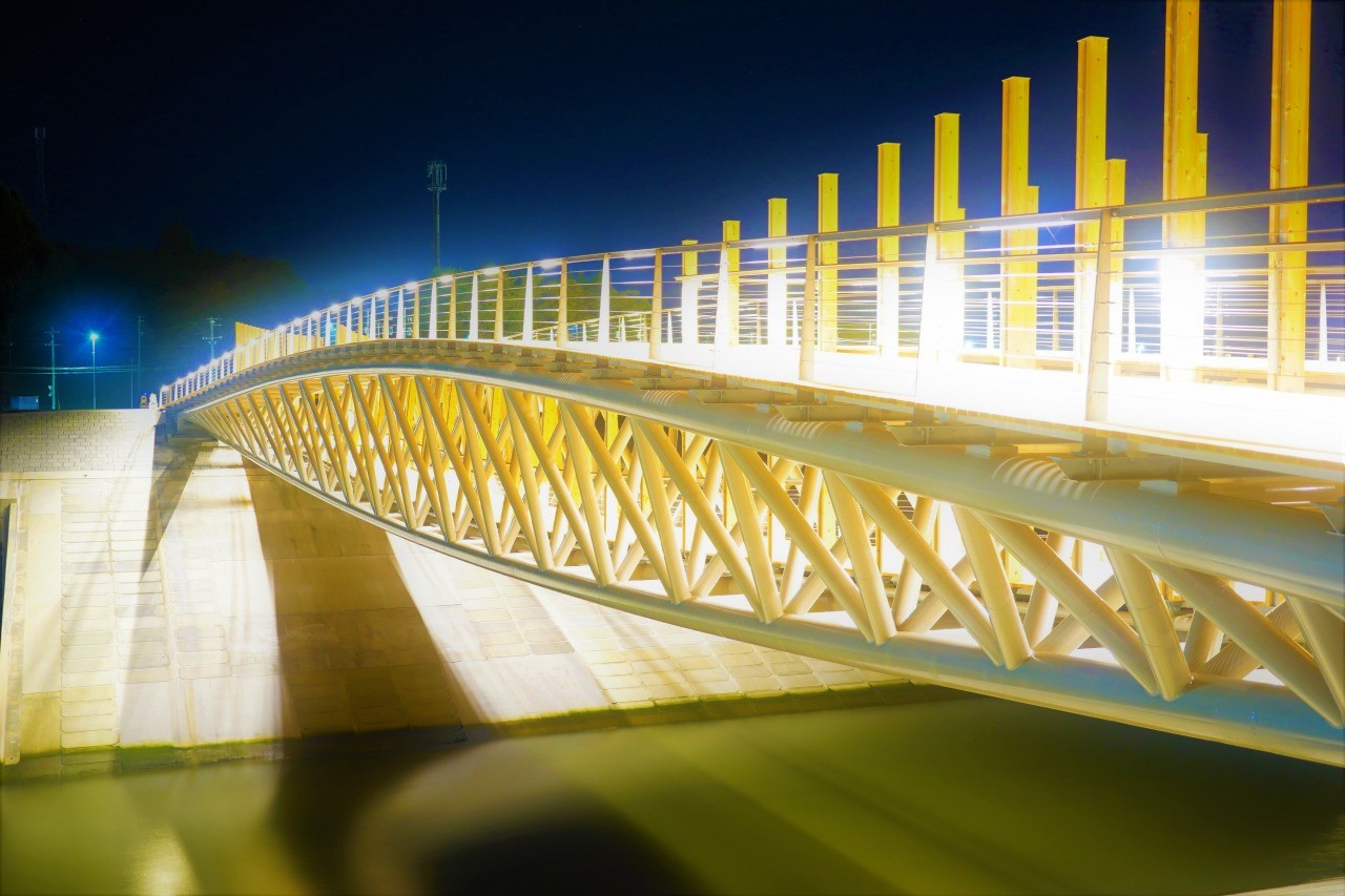
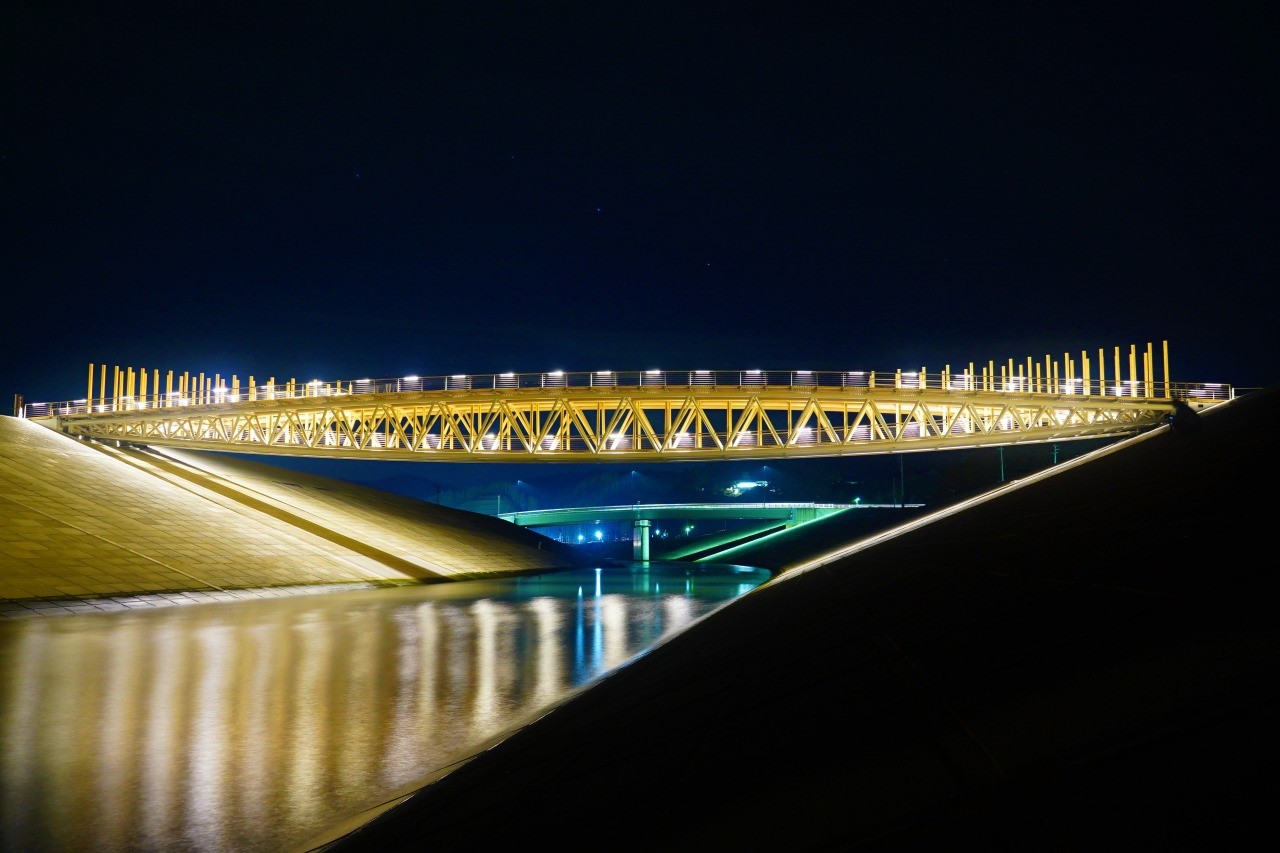
The Nakahashi Bridge is a pedestrian bridge made of wood and iron that spans the Hachiman River which runs through the Shizugawa district. It connects the Minamisanriku Earthquake Disaster Memorial Park, a site for remembrance and repose, where the steel frame of the Former Disaster Prevention Countermeasures Office remains, and the lively Minamisanriku SANSAN Shopping Village on the opposite bank. Designed by architect Kengo Kuma, the bridge has a double-deck structure with walkways on both levels and is designed to serve as a place of prayer. It has a beautiful form that uses Minamisanriku cedar, and the entire bridge is lit up at night, presenting a magical appearance. The bridge has become a symbol of the reconstruction of Minamisanriku.
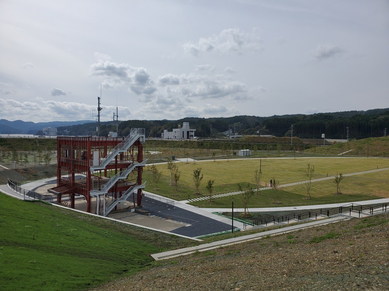
Lessons were learned from the 1960 Chilean Earthquake after the resulting tsunami hit the Sanriku Coast, and among the tsunami countermeasures taken by the town was the building of a three-story steel-frame disaster prevention office. However, the height of the 1960 tsunami was 5.5 meters, whereas the 2011 tsunami was nearly three times as high, at 15.5 meters. This resulted in the office building being swept through, taking 43 lives, including 33 town employees who kept calling out over the disaster radio for others to evacuate to higher ground. The steel structure stands today, reinforced and repainted, as a reminder of the dreadful impact of a tsunami, surrounded by raised soil embankments. The structure will be preserved under the management of Miyagi Prefecture until 2031.
The park was established on the west side of Minamisanriku SANSAN Shopping Village, where the city center used to be, as a place for remembrance and repose. Prayer Hill is located at the center of the vast park, 6.3 hectares in size. A stone monument was built at the summit of the 20-meter-high artificial hill listing the names of the victims of the Great East Japan Earthquake in memoriam. Just below the summit is a walking path at 16.5 meters above sea level, which was the average height of the tsunami that hit the Shizugawa area. Visitors can get a feel for the height of the tsunami by walking along this path. Clearly visible nearby is a steel frame, all that remains of the Minamisanriku Town Former Disaster Prevention Countermeasures Office. The hill is a place that will evoke memories of the tsunami and pass on that memory.
General Information
- Directions
- About 5 minutes by car from the Sanriku Expressway Shizugawa IC
About a 1-minute walk from BRT Shizugawa Station
- Official Website
- https://www.m-kankou.jp/view_spot/234397.html/
Contact
- Contact
- Construction Division, Minamisanriku Town
- Telephone Number
- 0226-46-1382