Ryozen Prefectural Natural Park
A prefectural nature park where you can experience nature, history, and the outdoors

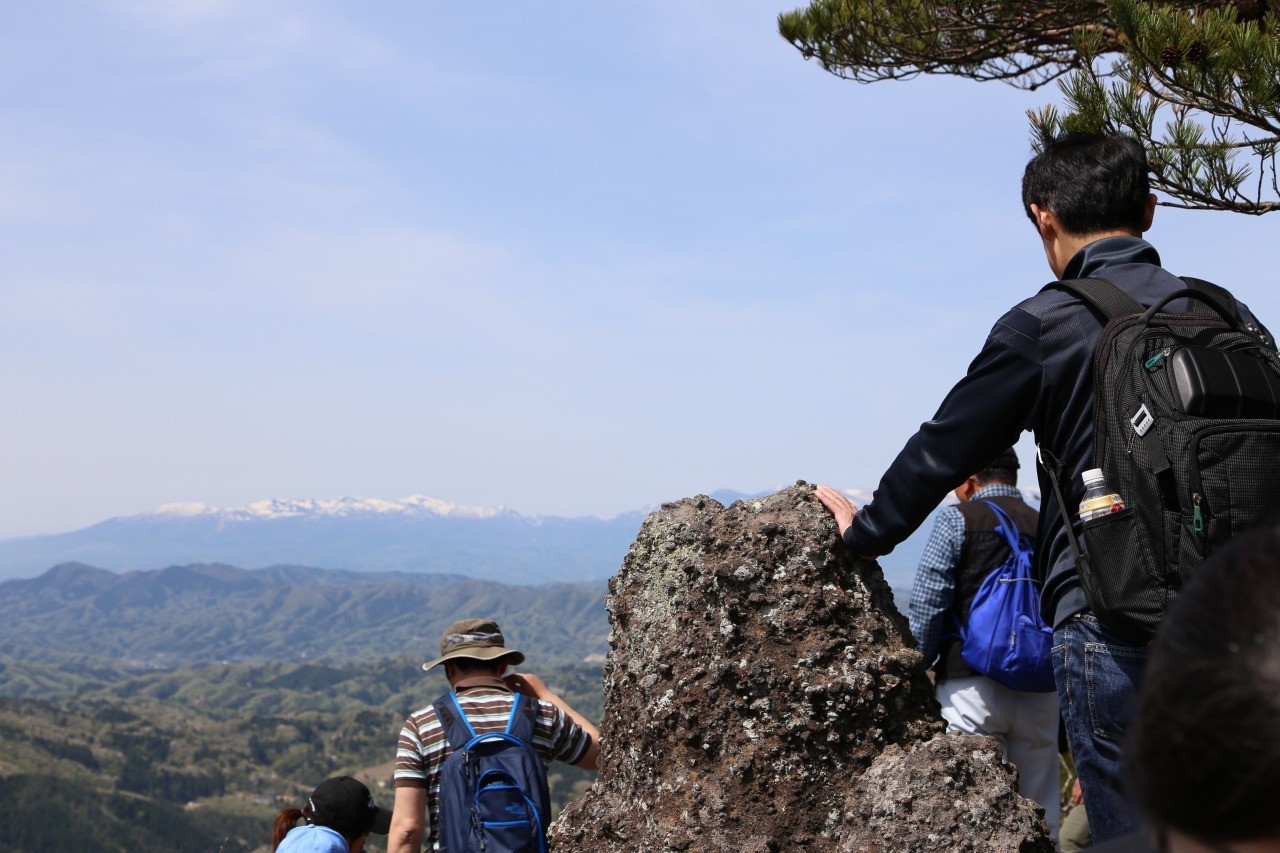

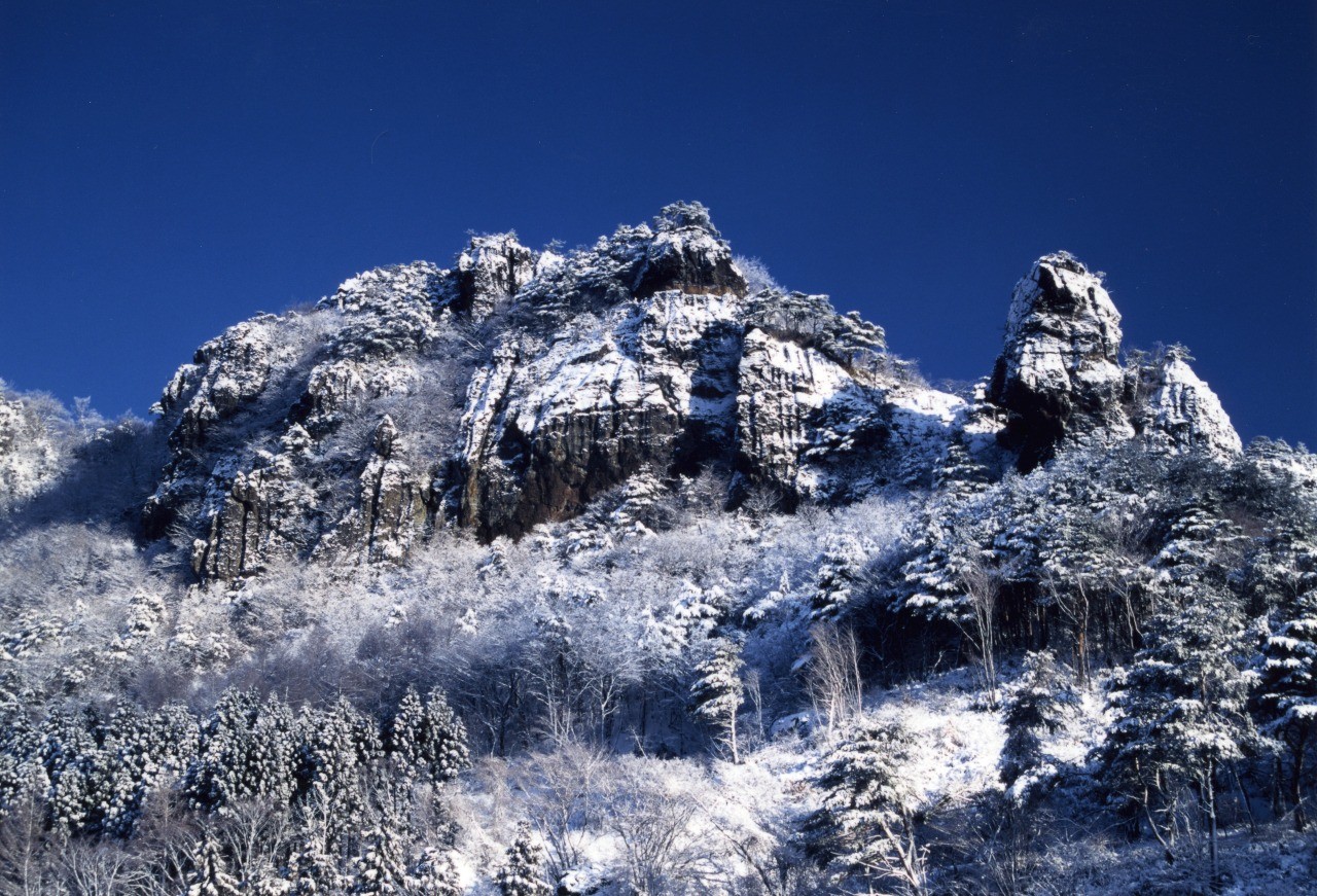
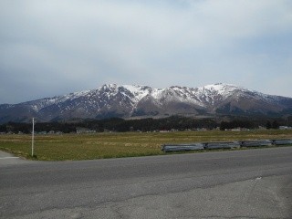
Located in the Abukuma Highlands in the northeastern part of Fukushima Prefecture, this is a prefectural nature park centered on the 825-meter-high Mount Ryozen, which is between the cities of Date and Soma.
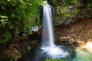
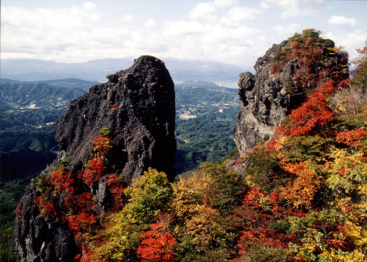
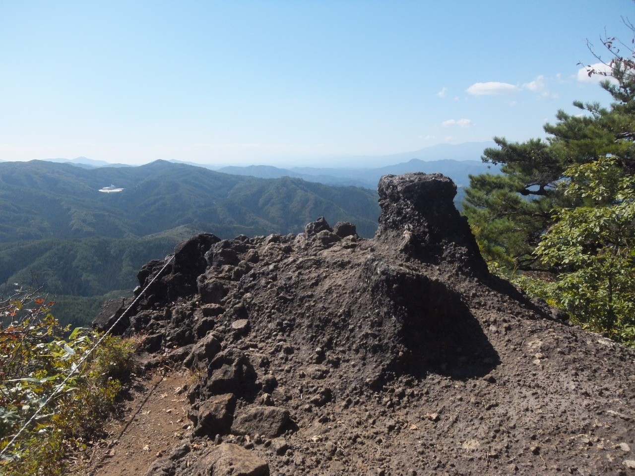
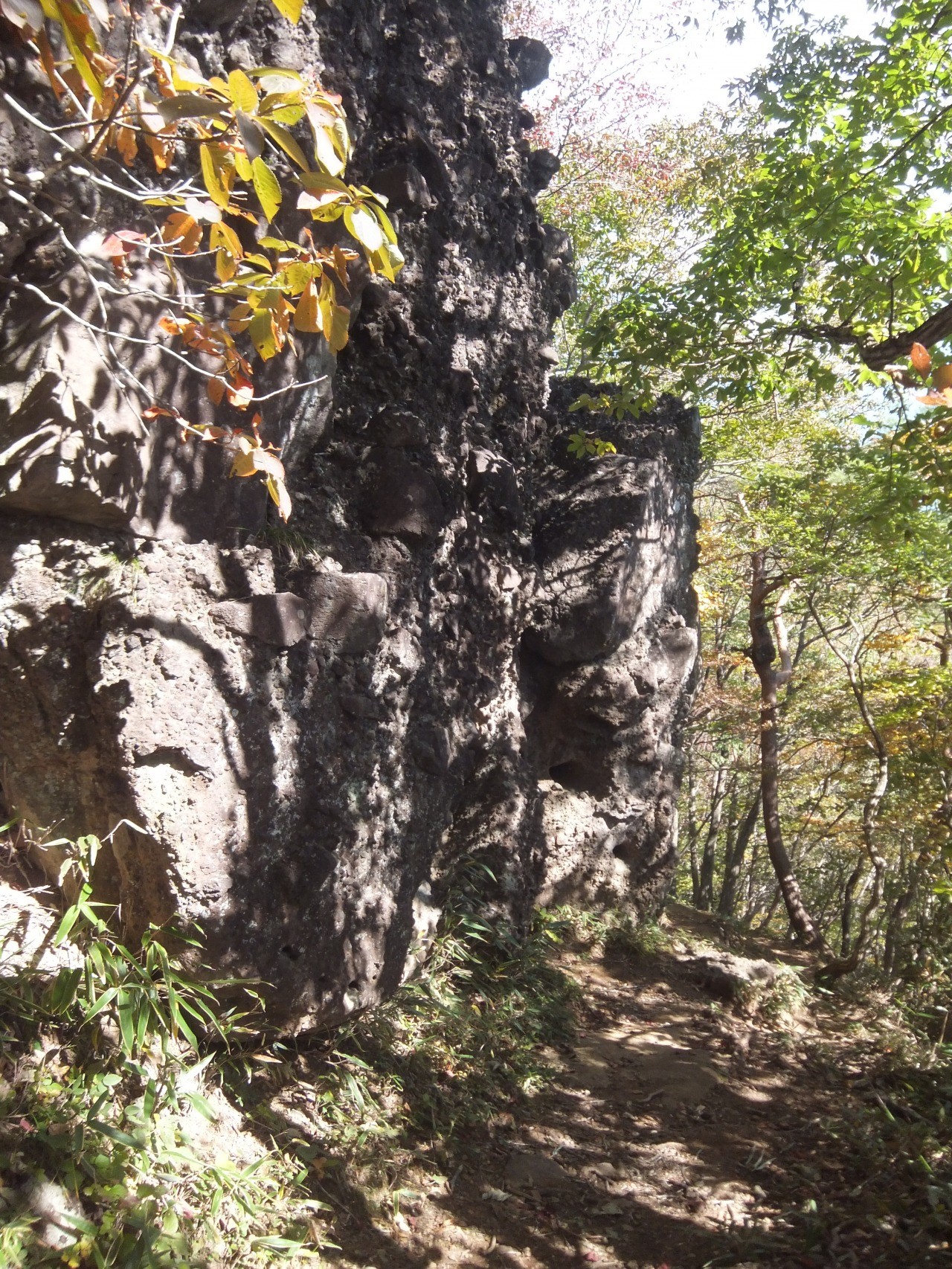
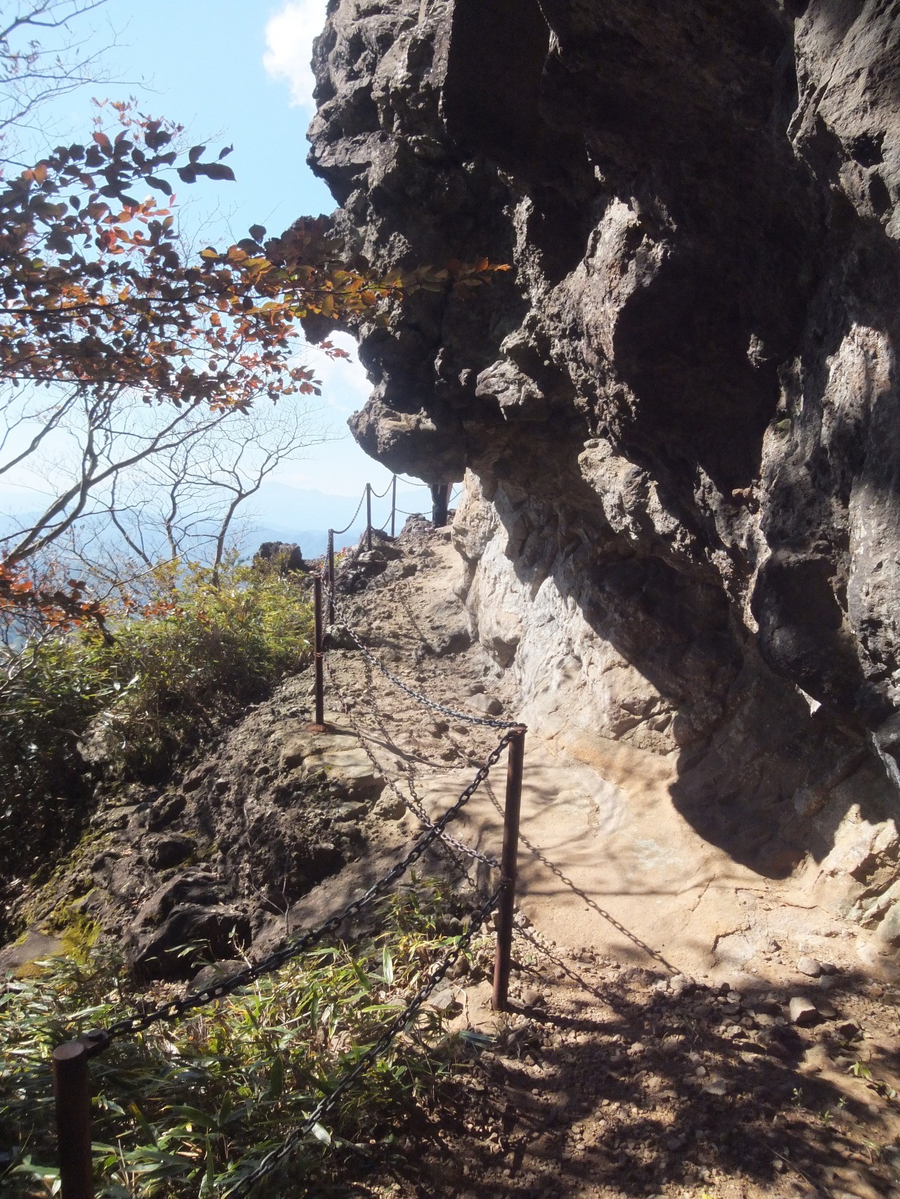
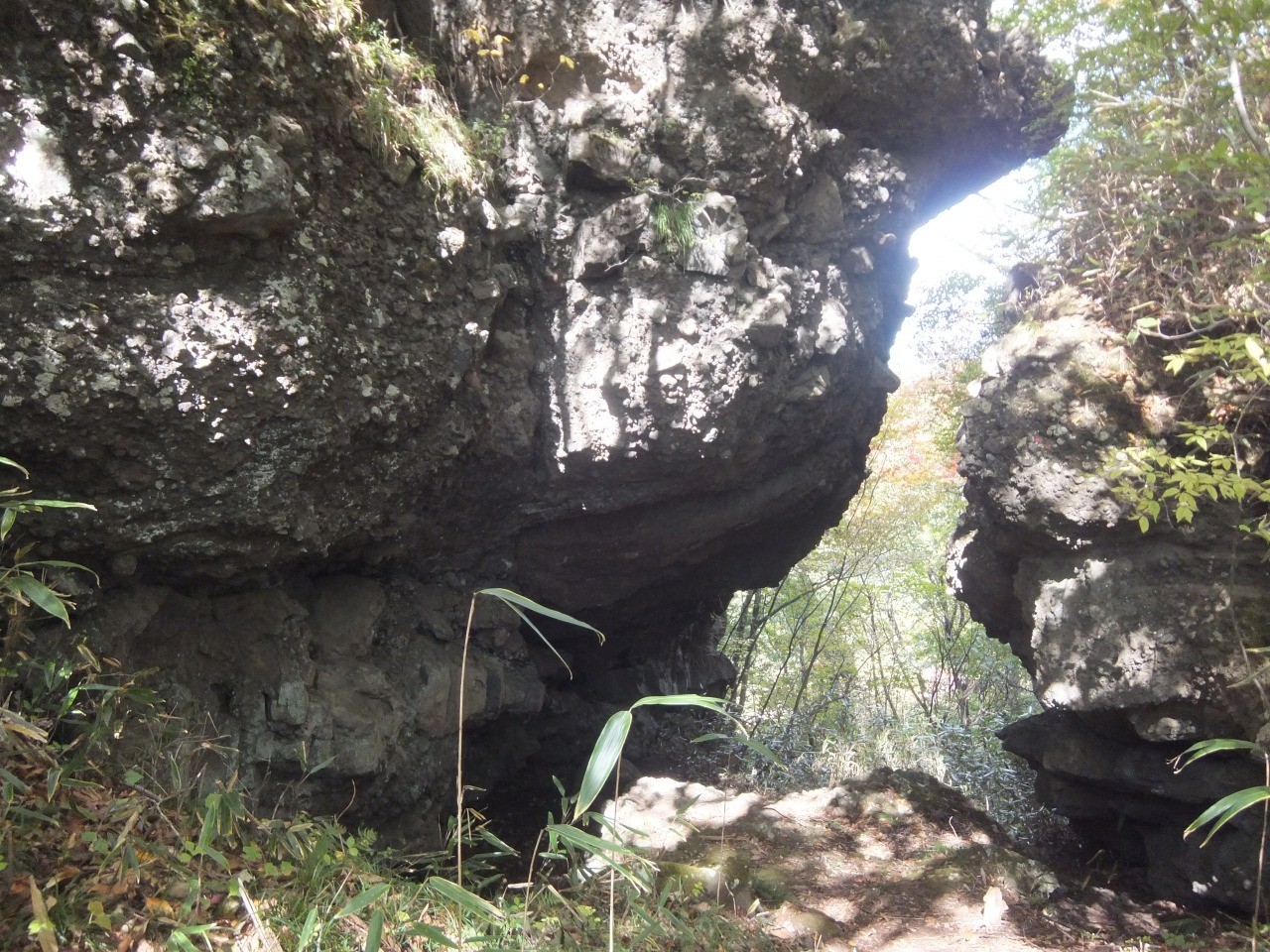
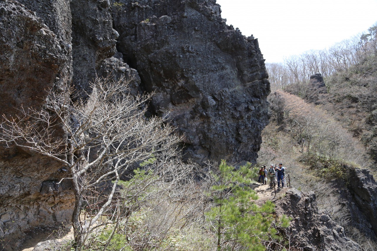
The renowned Mt. Ryozen, which is designated as a national historic site and a place of scenic beauty, was formed from volcanic activity about 35 million years ago.Whereas basaltic agglomerate rocks are easily eroded, volcanic rocks are less easily eroded, resulting in the formation of strange shapes formed over millenia.
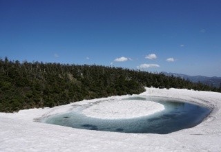
In late May, when the fresh greenery and azaleas bloom, and from mid October to early November, when the leaves change color, along with the uniquely shaped rock surfaces, the scenery is overwhelmingly beautiful.
■Hiking course
○ Model course 1 *Round trip 3 hours. Trailhead~Hojudai~Mioroshi Rock~Kokushizawa~Tengu's Sumo-jo~Gomadan Entrance~Oyashirazu/Koshirazu~Gomadan~Ruins of Kokushikan~Ruins of Ryozen Castle~Higashi Monomi Rock~Gakumon Rock~Ari no Towatari~Boyodai~Kobo no Tokkan Rock~Benten Rock~Higurashi Rock~Higurashi Rock Entrance~Descent
○ Model course 2 *Traverse Time 5 hours. Trailhead~Hojudai~Mioroshi Rock~Higurashi Rock~Benten Rock~Kobo no Tokkan Rock~Boyodai~Gakumon Rock~Higashi Monomi Rock~Sennin Water~Kabuto Rock~Kokushizawa~Tengu's Sumo-jo~Gomadan~Ruins of Kokushikan~Ruins of Ryozen Castle~Ruins of Hie Shrine~Shimeiho~Wakumizu no Sato Campground or Ruins of Ryozen Pavilion
■History
Jikaku Daishi Ennin founded Ryozenji Temple in the early-Heian period. Three thousand six hundred halls, pagodas and monks' quarters were built in its greatest period on the steep terrain, the temple having played a central role in mountain Buddhism in Oshu. In 1337, during the Nanbokucho period, Akiie Kitabatake built the Ryozen Castle and established the Mutsu provincial government in the honor of Prince Noriyoshi (later Emperor Go-Murakami), the castle functioning as an important stronghold for the Southern Dynasty in the Ou region until it fell in 1347. At the top of the mountain are remains of what is believed to be the ruins of Kokushi.
- Category
- Nature
- History and Culture
General Information
- Address
- 福島県伊達市霊山町石田字釜ヶ平
- Directions
- ●Car
From Kunimi Interchange (Tohoku Expressway), take Route 4 to Route 115 for approx. 50 minutes
From Fukushima-Nishi Interchange, about 60 minutes via Route 4, Route 115, and Tohoku Chuo Expressway
From Soma Interchange (Tokiwa Expressway), approx. 25 minutes via Route 115 and the Tohoku Chuo Expressway
Approx. 5 minutes from the Ryozen-Iitate Interchange (Tohoku Chuo Expressway) (when coming from Fukushima direction)
Approx. 10 minutes from Soma Tamano Interchange (when coming from Soma direction)
●Taxi
Approx. 45 minutes from JR Fukushima Station, about 25 minutes from JR Hobara Station (Abukuma Express Line), approx. 30 minutes from JR Soma Station - Official Website
- Shizen Kaoru Irodori no Sato Ryozen Kousaikan
Contact
- Contact
- Ryozen Kousaikan
- Telephone Number
- 024-589-2233